Old Maps imageOld Maps image
The map of c.1772 by Thomas Jeffries, left top, shows the original village street running to the South of cottages, Hall and Church with a road entering the village from the South East, running across the Park and turning sharply up to the Hall.  The site of an earlier hall was in the Park, (see X on the maps).

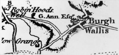
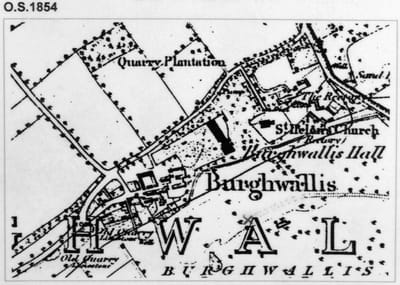
Between 1802 and 1809, Michael Ann, Lord of the Manor, constructed a new road at the North side of the village.

By the time of the Enclosure Award in 1815, some of the old cottages near the Hall had been demolished and new ones built to the West, so determining the present day layout of the village.
I BUILT MY SITE FOR FREE USING